毎日 通常購入しなくては使用できないソフトウエアを無料で提供します!
iPhone Giveaway of the Day - Elevation Tracker: Altitude
Elevation Tracker: Altitude
は今日のGiveawayとして利用可能です!
限定期間のみダウンロード可能

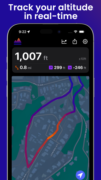
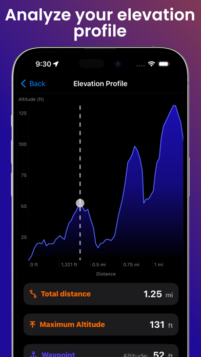
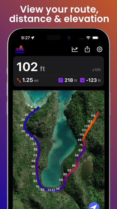
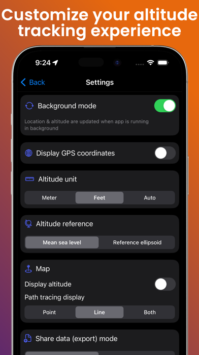
Track your altitude. Map your routes. Relive your adventures in 3D.
A precise GPS altimeter and complete trip recorder for hiking, biking, skiing, paragliding, or any outdoor adventure where altitude matters.
Live tracking
• Real-time altitude with vertical accuracy
• Distance, elevation gain & loss, average speed, stopwatch
• Live Activity & Dynamic Island support — keep your stats on the Lock Screen
• Background tracking, so your trip keeps recording in your pocket
On the map
• Switch between satellite, hybrid and standard map styles
• Colored polyline along your route
• Tap any point to see altitude, distance and speed at that exact spot
Your trips, saved & shared
• Trip history — every session stored locally on your device
• Import GPX files as a ghost trace to follow a route on the map
• Export your tracks as GPX (Pro)
• Snapshot and share your map view with one tap
3D flyover videos (Pro)
Turn your favorite hike into a cinematic 3D flyover video — your route, your camera path, your altitude stats burned in. Export to your Photos library and share it everywhere.
100% local, 100% private — no account, no cloud sync, no analytics. Your data stays on your device.
Works offline. Download once, explore everywhere.
開発者:
Florian Delaunay
種類:
Navigation
バージョン:
1.6.1
サイズ:
10.05 MB
批評ポイント:
4+
言語:
English, French, German, Indonesian, Chinese, Spanish
互換性:
iPhone, iPad
コメント Elevation Tracker: Altitude