毎日 通常購入しなくては使用できないソフトウエアを無料で提供します!
iPhone Giveaway of the Day - Florida Reefs, Weather & Regs
このgiveawayオファーはすでに期限が切れています。Florida Reefs, Weather & Regsが今紹介されています。
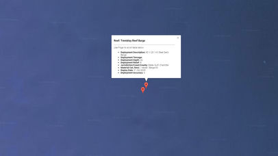
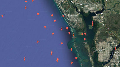
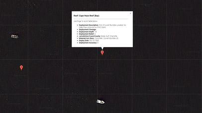
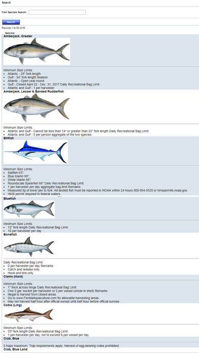
Accurate, simple to use Satellite Map based Florida Artificial Reef locations of Federal & Florida reef coordinates on a simple to use satellite map. Designed by Florida divers and fishermen and Professional Florida Fishing Guides & Diving enthusiasts. This app ALSO features our handy Florida fishing regulations & fish identification guide to guarantee you harvest within the legal limits.
NO SPAM ADS, SIMPLE TO USE...100% AD FREE. No annoying In-App purchases...pay once to help support this app and get all the features.
Critical Information to gauge value of the reef for fishing & diving:
- Latitude/Longitude
- Deployment Description (Type of Material: Boat, Culverts, etc.)
- Deployment Tonnage
- Deployment Depth
- Deployment Relief
- Jurisdiction/Coast/County
- Material Cat./Desc. (Example: Rubble/Concrete)
- Deploy Date
- Deployment Accuracy
Excellent support for any issues, questions or new features...simply email: info@nestides.com and we'll show you how Apple support is meant to be.
Auto-save last location for easy reference to your last reef location the next time you use the tide app.
Included is the ability to zoom and view satellite imagery.
Recent Feedback:
"The ability to display reef locations and actual reef information allow me to plan & explore near-shore & offshore fishing trips in advance The satellite view allows me to explore and discover new fishing grounds and plan multiple reef location stops in a single day based on close proximity to each reef location. Absolutely the best fishing software tool I have ever used. ," said USCG Captain Mike K.
開発者:
NesTides
種類:
Travel
バージョン:
1.0
サイズ:
16.63 MB
批評ポイント:
4+
言語:
English
互換性:
iPhone, iPad, iPod touch


コメント Florida Reefs, Weather & Regs