Ogni giorno offriamo programmi GRATUITI che altrimenti dovresti comprare!
iPhone Giveaway of the Day - GPS Travel Journal
Questo giveaway è scaduto. GPS Travel Journal è adesso regolarmente disponibile.
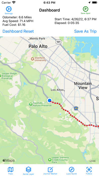
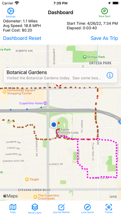
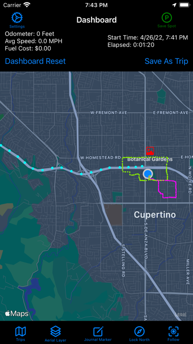
The “GPS Travel Journal” records where you travel with a trail of dots on a map.
I created this app to record road trips with journal entries and photos.
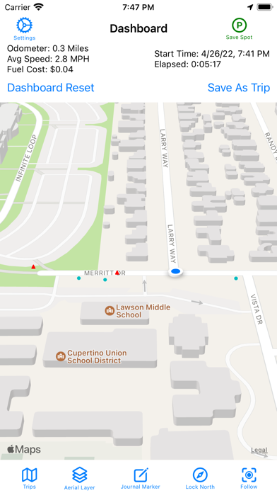
The dashboard above the map shows the distance traveled and the fuel cost for driving that distance - updated in real time.
This app is also for hikers and hunters to record their path so they can find their way out of the woods after bushwhacking off the trail.
A connection to the internet is NOT NEEDED. You only need to have access to your GPS location to save a trail of dots on the map showing where you’ve been.
The app is designed to be simple and intuitive to use so there is no learning curve.
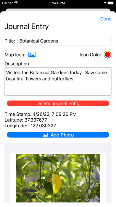
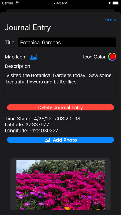
Mark places you visit on the map by tapping the ‘Journal Marker’ button. This will leave an icon on the map in your current location. Tap on Journal Markers on the map to add descriptions and photos.
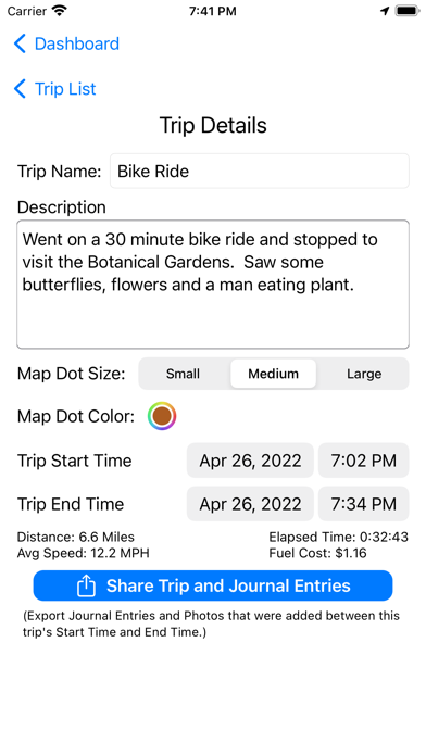
Export your saved trips and journal entries to the Apple Notes app for editing or sharing with others.
You can use this app to measure the distance, duration and average speed of your runs, walks, rides and drives.
The dots left on the map show your exact path taken.
Student drivers can use this app to record driving distance, duration and exactly where they drove for their driving journal record.
The ‘Parking Spot’ button will save your current parking spot on the map with a single tap so that you can find your car easily after you are done shopping.
Sviluppatore:
William Hause
Categoria:
Navigation
Versione:
1.1
Dimensione:
949 KB
Valutato:
4+
Lingue:
English
Compatibilità:
iPhone, iPad



Commenti su GPS Travel Journal