毎日 通常購入しなくては使用できないソフトウエアを無料で提供します!
iPhone Giveaway of the Day - Kīlauea Update
このgiveawayオファーはすでに期限が切れています。Kīlauea Updateが今紹介されています。
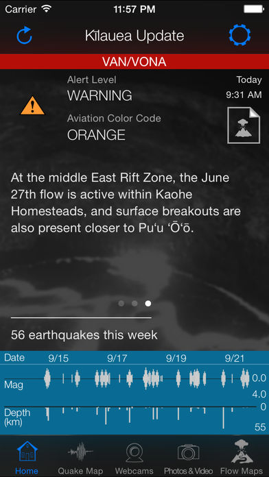
The Kīlauea Update app delivers up-to-date news and information about recent activity at Kilauea Volcano from the Hawaiian Volcano Observatory (HVO) on the big island of Hawaii. Daily reports from USGS include an assigned alert level and aviation color code as well as details regarding current volcanic and seismic activity.
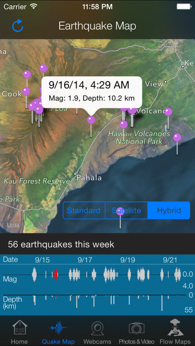
View current earthquake activity via an easy-to-read graph and on the big map so you can tell exactly what went on in Hawaii this week.
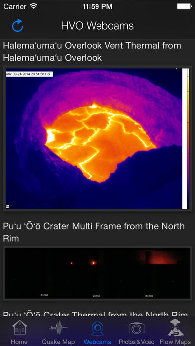
HVO webcams show the activity at the Halema’uma’u crater near the visitor center, a close-up of the lava lake as well as Puo’O’o crater activity and thermal images.
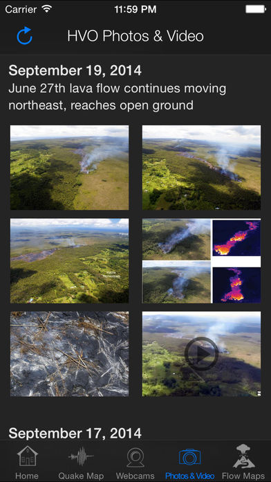
Photos and video posted by USGS personnel show some impressive views of the current activity in the area. View crisp photos and descriptions of lava flows and fountains taken by USGS personnel with much closer access than possible for the general public. Videos taken by helicopter can be particularly compelling.
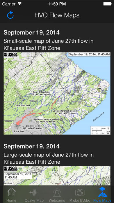
Finally, HVO flow maps show where the current lava flow is headed compared with where it’s been going in the past.
Over the past few years, the decade-long eruption of Kilauea has begun to shift. The river of lava that flowed to the ocean for 20 years stopped, stalled for a bit, then re-established itself several miles closer to civilization. In 2011 the lava flow took out houses in Kalapana Gardens and a year later took the last remaining house in the old Royal Gardens subdivision. In late 2012 new records were set on lava lake levels within the Halema`uma`u Crater at the Jaggar Museum. In April of 2015 the lava lake briefly overflowed into the larger crater for the first time ever.
Has Kilauea changed? Is there an ocean entry? What's the lava lake level at Pu`u `O`o? Go ahead, put Kilauea in your pocket. Get Kīlauea Update for iPhone®, iPod touch® and iPad® now.
開発者:
Foxy Rocket
種類:
News
バージョン:
1.5.2
サイズ:
4.86 MB
批評ポイント:
4+
言語:
English
互換性:
iPhone, iPad, iPod touch

コメント Kīlauea Update