Каждый день мы раздаем лицензионные приложения для iPhone БЕСПЛАТНО!
PeakVisor
доступна бесплатно!
Вы можете скачать и установить её в течение определенного времени.

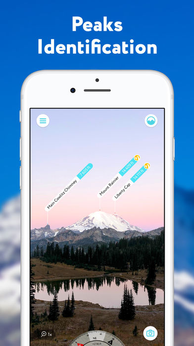
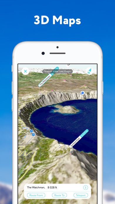
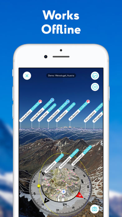
PeakVisor is the best [* Mountain Identification *] app for your outdoor adventures. It identifies all the peak names along with their elevations in your camera view using the Augmented Reality (AR) technology and provides a lot of additional information. PeakVisor also provides state of the art high-precision [* 3D maps *] which are crucial for orienteering in the mountains.
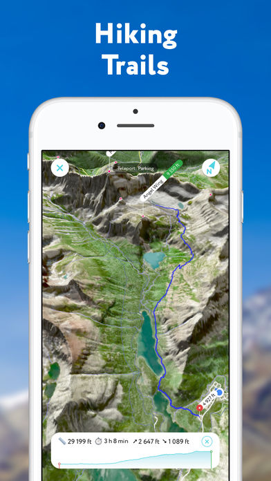
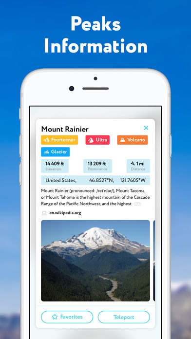
The app comes with a number of other handy outdoor features including hiking trails routing, landscape flyover, photo import, annotated photo sharing, detailed peaks and mountain huts information, and many more - just the kind of multi-purpose gadget that outdoor enthusiasts love.
[* 3D Maps *]
A 3D panoramic map presents the true landscape of the mountains. It allows the most convenient way to explore a mountainous area, its trails, summits, passes, viewpoints, and parking areas. A vast network of worldwide hiking trails and walking pathways in 3D map allow you to plan your hiking route, its walking distance and elevation gain.
[* Offline Ready *]
Internet connection is not a prerequisite for the PeakVisor app with the PeakVisor PRO option enabled. All the data is downloadable and ready for use no matter where you are or what altitude you might be reaching.
[* Global Reach *]
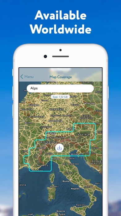
PeakVisor covers all the major and minor mountain ranges in the world. Our app is consistently growing to include more peaks and ranges that outdoors enthusiasts are passionate about.
[* Photo Sharing *]
Why don’t you let your friends and family in on the amazing adventure you are undertaking? PeakVisor has a photo option that captures the digital overlay of your horizon, completes it with names and altitudes of all the peaks in view. This just adds some zest and the feeling of accomplishment to a trip that is already exhilarating and confidence boosting.
[* More than just Mountains *]
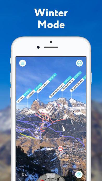
PeakVisor knows not only 1,000,809 mountains but also shows all the castles, mountain huts, parking lots, cable cars, and viewpoints in your area as well.
[* Sun Trail *]
The Sun Trail reflects the movement of the sun and is super handy in positioning the compass and advising photographers a perfect time for a snap.
==Who is it Designed For?==
^Outdoor Enthusiasts^ - The PeakVisor app is tailored for outdoor enthusiasts and general fans of the outdoor adventures. Anyone planning a hiking trip to a mountain range or nearby will benefit from this app.
^Mountain Guides^ - The PeakVisor app is also ideal for mountain guides. Guides who lead groups of people to summits are often asked about the surrounding area during the hike. With the help of the PeakVisor app, they can answer any questions with exactitude and a flash of technological savvy.
Using PeakVisor is very simple. Just open the app and point the camera to the mountain in front of you. All the information about the name and height of the mountain in the lens will be displayed in an instant. Head to the Alps, and even the Himalayas, or go to the nearby unknown hills to climb the mountain and exercise fresh air.
If you have any questions, please feel free to contact us at peakvisor@routes.tips
[* PeakVisor Pro *]
Explore and navigate the outdoors without an Internet connection. Unlock exceptional offline capabilities and support PeakVisor development. Available as a monthly or an annual subscription.
Payment will be charged to your Apple ID account at the confirmation of purchase. The subscription automatically renews unless it is canceled at least 24 hours before the end of the current period. Your account will be charged for renewal within 24 hours before the end of the current period. You can manage and cancel your subscriptions by going to your App Store account settings after purchase. Any unused portion of a free trial period, if offered, will be forfeited when the user purchases a subscription to that publication, where applicable. For terms and privacy policy visit peakvisor.com
Разработчик:
Routes Software SRL
Категория:
Travel
Версия:
3.7
Размер:
45.03 MB
Возраст:
4+
Языки:
Catalan, English, French, German, Italian, Japanese, Portuguese, Russian, Chinese, Spanish, Chinese
Совместимость:
iPhone, iPad


Комментарии